Why bioregions?
(work in progress)...
“National boundaries are not evident when we view the Earth from space. Fanatical ethnic or religious or national chauvinisms are a little difficult to maintain when we see our planet as a fragile blue crescent fading to become an inconspicuous point of light against the bastion and citadel of the stars.”
Carl Sagan
Join me on a thought experiment...ready?
Take a look at this map of the world and tell me what you see:
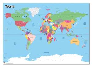
You see standard view of all the countries that make up our global society.
But now look at the actual world, as it appears from outer space:
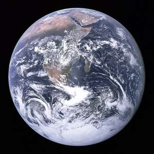
No countries. Not one.
Is this strange or normal?
It's both. It's normal because we're used to the world operating based on countries, and each country acts a certain way.
But it's also really strange, because Earth is the only habitat we have, and we desperately need it to survive.
The survival of our species is in serious jeopardy, and we only have one shot to get this right.
But it get's even stranger...
The countries that we've all grown so accustom to have barely existed for most of the Earth's history.
The countries in Africa didn't exist independently until the 1960s. Before that they were European owned colonies, but those boundaries were made up by a handful of white men from Europe at the Berlin Conference of 1885.
The countries in the Middle East were cobbled together after World War 1 in 1918.
All of these borders that pretty much dictate everything about the way the world operates, were just lines drawn on a map.
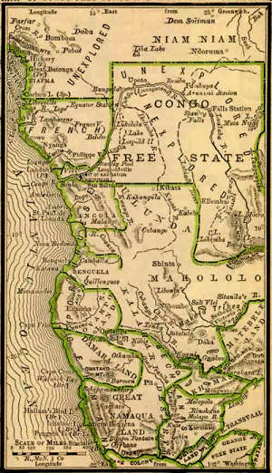
Existing cultures and tribal relationships were ignored.
This greatly accelerated the strife and suffering that Congo continues to experience to this day.
---
Take a look at all these made up lines by Europeans. They go all over the place depending on what year it is:
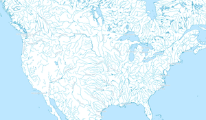
What about North America?
Here is what North America looks like, according to the patterns of the natural world:
(click to enlarge)
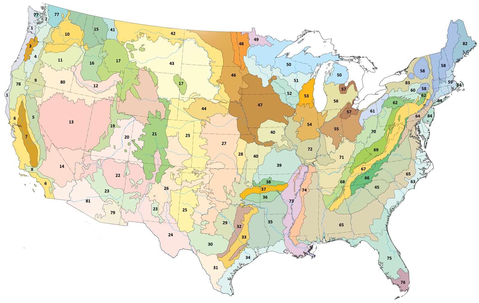
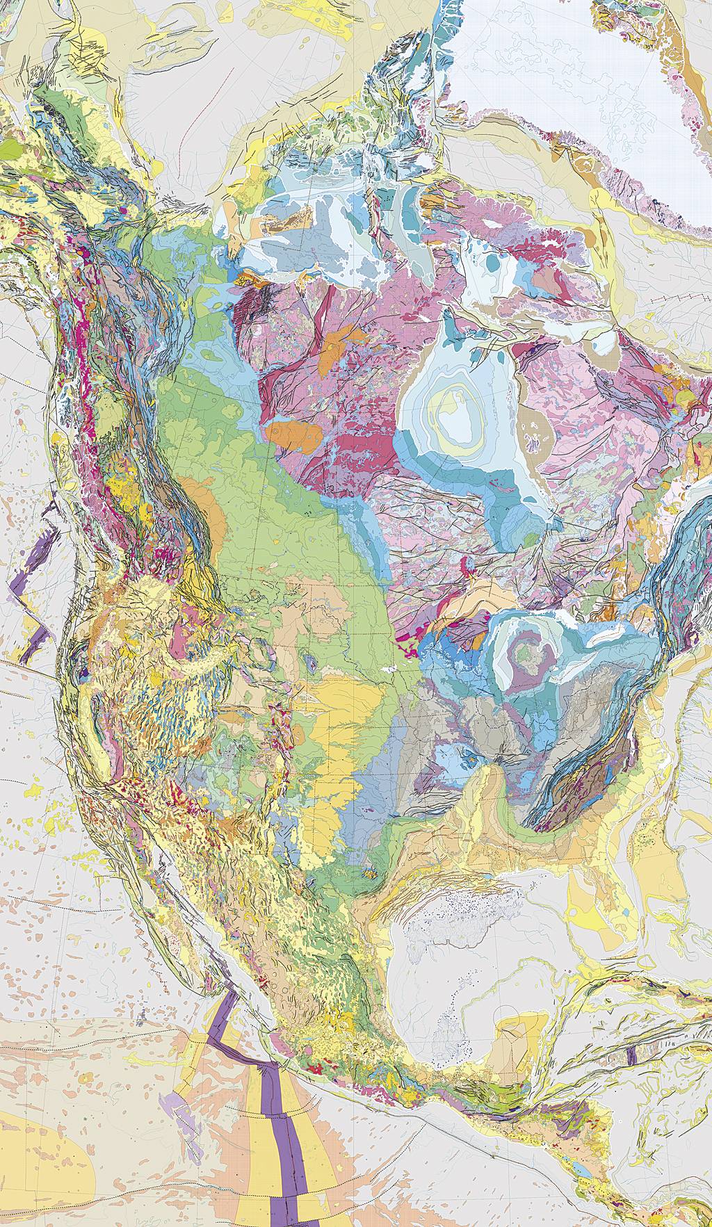
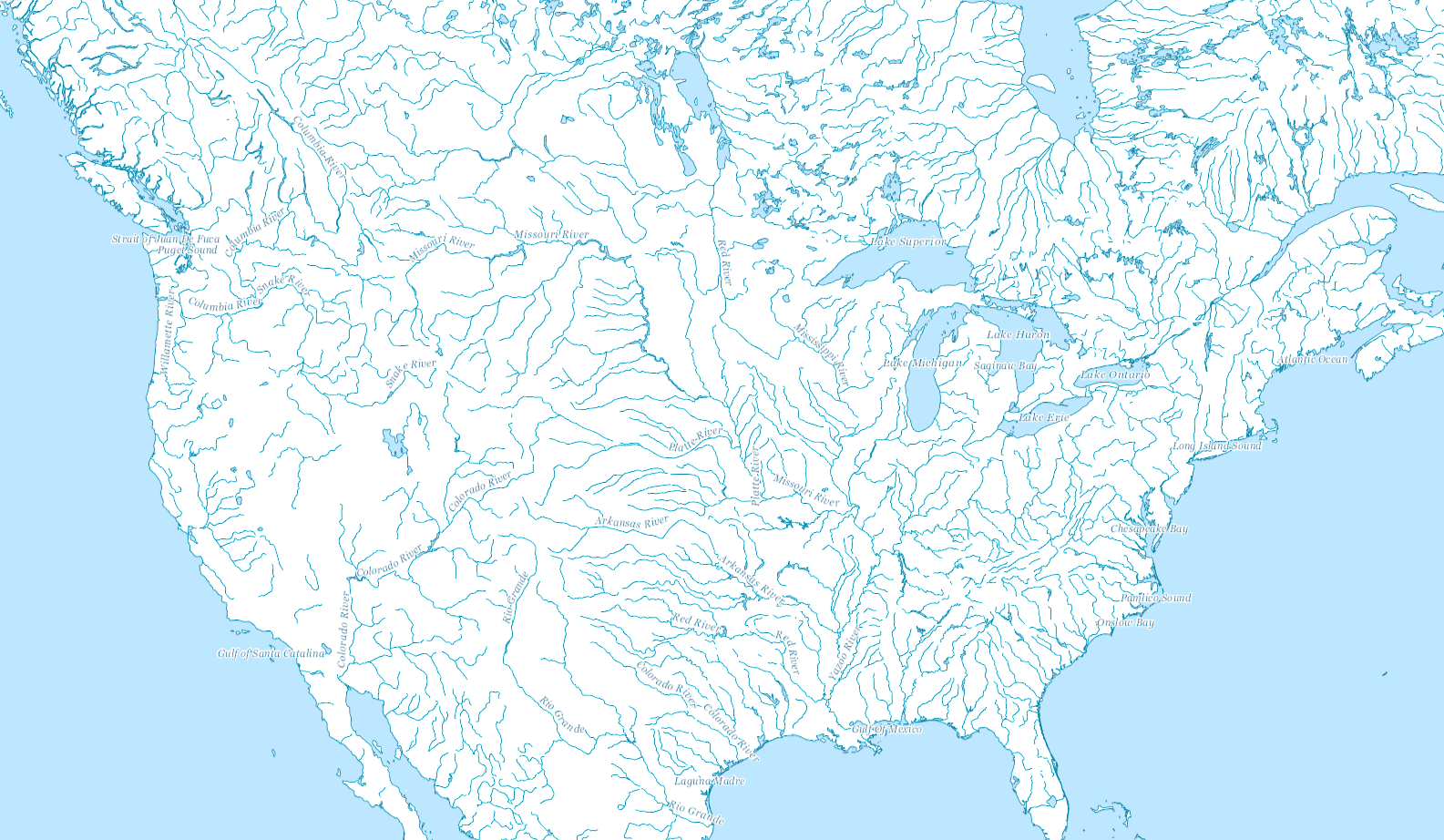
As you can see, the United States is completely different.
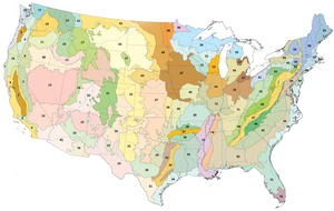
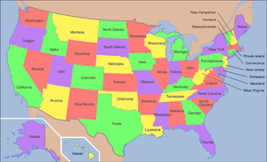
The human history of this country, is far separated from its natural history.
The lines of imaginary political borders are far different from the lines of real water.
This has huge implications. Our political challenges that shape the earth are framed by man made lines that don't actually resemble the earth.
(more content to come..)